Big jolly disclaimer:
My 2019 AZT hike was a bit wonkey due to injury and weather, so the places I ended up using for resupply may not be standard for a typical nobo or sobo hike.
I started northbound at the Mexican border the night of March 3rd, sprained my ankle the second day and then split my knee open the third day! After a few days in Pategonia icing my ouchies, I hiked/hobbled north with a stitched up knee and a taped up ankle. A snow storm falling in the Catalinas convinced me to reassess my linear north bound hike . After a few burritos and a shower in Tucson, I decided a flip flop hike was the smart thing to do to protect my knee and ankle from further injury by trekking through fresh snow. I flipped up to mile 300 and hiked the low lying desert southbound in the unseasonably cool weather. This put me sobo in the Catalinas after much of the snow had melted or at least had tracks through already. When I hit where I had left off originally heading nobo, I got a ride back up to mile 300 again and started hiking north once more towards Utah. Thanks Uber! Sorry bank account!
When I reached the North Rim of the Grand Canyon, the trail was covered in deep snow and more was falling, so I hitched a ride in a snow plow to some snow free trail near Jacob Lake and hiked to the Utah border. In October, I returned to Jacob Lake and hiked southbound to get a go at the section I had missed in the spring and even had a second go at the Grand Canyon, for shits and giggles.
So, yeah. Where I stopped for food might not make sense from a linear standpoint, but, hey, HYOH.
How much food to carry?
The first 400 miles nobo from Mexico, I aimed for 20 miles per day. The southern 400 miles of trail has a considerable amount of elevation gain and loss, is very rocky, and it was growing dark by 6:30pm- all making 20 miles in a day feel quite challenging.
The last 400 miles nobo from Pine to the Utah border, I aimed for 25 miles per day. The northern half of the trail flattens out a great deal, has a much smoother tread, and the days are begging to grow longer with the sun setting later- creating more opportunity for bigger miles.
Generally speaking, my preference is to stop for resupply whenever I can. I love a light pack! If the hitch isn’t too obnoxious and I’m not on a time crunch/deadline to be somewhere, I will take the time to pop in town to eat a burger and refill my pack- even if there is another resupply 2 days’ walk up trail. If the trail walks right near a town or through it, I will ALWAYS use it as a resupply.
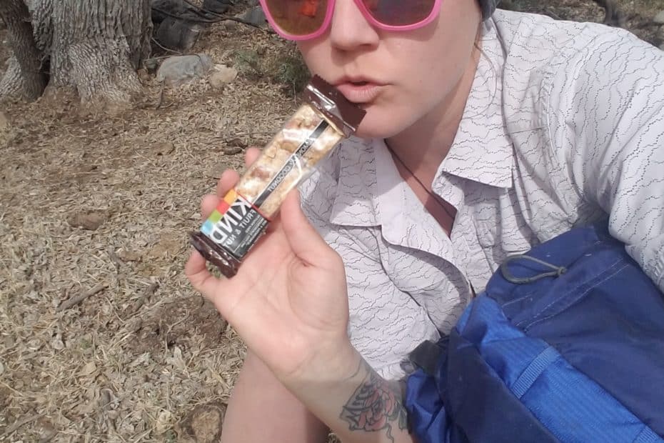
So, how much food do ya carry? To plan how much to carry, divide the distance between resupplies with the daily mileage you are aiming for. I always carry an extra meal and a few more candy bars than I think I’ll need. If I know I am due to hit bad weather, I will bring an extra day’s food just in case I need to wait a storm out in my tent.
The most food I carried on the AZT was 4 days worth.
How do you know where to Resupply?

I utilized three resources to plan out where I was going to get food while I was out on trail.
- The Arizona Trail Association is a wealth of information. So much information, that at first it can feel overwhelming to sort through. On the site, all of the towns you can access from trail are listed as Gateway Communities. Check it out here: https://aztrail.org/explore/gateway-communities/
- Friends. I asked my friends that had hiked the AZT about the trail towns they liked and how they resupplied. I can be your friend. Here ya go: this post.
- Gutthooks aka atlas guides app for your smarty pants phone. If you’re not familiar with the app, it works like any gps map thingy. You see the trail, you see waypoints on the trail, and you see where you are in relationship to it. It’s a great tool for navigation and for planning while off and on trail. I cozied up in bed late at night and instead of stalking ex’s I clicked through all the trail town waypoints and read the hiker sourced reviews on the town to get familiar with my options. And once I was hiking, I would cozy up in my tent at night and use the app to plan my next moves.
After reading through my three resources I was able to land on the type of resupply strategy I would employ.
- buy all my food as I go.
- mail resupply boxes to places I will stop along the trail.
- some combination of the two.
I opted to mostly buy all of my food as I went along and mailed myself two boxes along the way. I prefer to buy as I go to avoid having to deal with post office hours and to buy what I’m in the mood for as my cravings change on the hike.
My 2019 AZT resupply stops: The dirt.
The following lists the towns/stops I visited or would have visited, but, you know, shit happens (this is not a list of all of the AZT options, only the ones that I went to in 2019)..
Places you can walk to from the trail are in italics.
Seeing as most thru hikers plan to hike in one direction, I’ve listed the places I visited for resupply from south to north and the distance between each town to give a sense for how big the food carry will be. Keep in mind, my hike flip flopped a couple of times, so you may decide different stops make sense for you.
Tucson
- stayed with friends, had a friend drive me to the border from Tucson
- mailed myself a box of food to Pategonia and Roosevelt Lake from here.
Patagonia @ mile 51
resupply here for 61 miles to Vail
- The trail goes through town
- I sent a box here to the post office before I left for the hike because I had a bunch of food left from a previous hike, but you can get by fine without one
- 2 small expensive grocery stores (one with many organic/veg things- cash only!), but once you factor in postage for mail, it’s about the same cost in the end.
- Gathering Grounds Cafe, good for a meal and coffee, charge phone and batteries while you eat
- fun saloon, free chips and salsa with a beer
- one hotel, about 110/night
Vail @ mile 112
resupply here for a hard 71 miles to Summerhaven (or 86 if you don’t plan to grab food in summerhaven)
- Safeway near old vail village (grab an uber from trail or hitch, a few roads to choose from)
- I ran into a snow storm so I had a friend pick me up and I spent a couple days in Tucson and resupplied there, showered, etc. but had been planning on getting food in Vail.
- When you hike out of Vail you will be gaining SERIOUS elevation up over two ranges. Pack good, calorie dense foods, you may feel more hungry than you have been! The climbing is challenging and the nights will be cold.
Summer Haven, Mt Lemmon @ mile 183
resupply here for 15 miles to Oracle
- The trail walks directly through town.
- The grocery store, more like a national park market, is good for boosting up your snacks and you could easily supplement another day’s worth of food to get you into Oracle. Not cheap!
- Cookie Cabin has massive cookies and ice cream.
- Hours are super limited. If you want to get food here, check their hours and plan accordingly. I got in at 6pm when things had just closed and camped behind the firestation (got permission0 the camp sites were all snow covered!) so I could go to the store and cookie cabin the next day.. Charged my phone and batteries at the visitor center in the bathroom there and used the wifi.
Oracle @ mile 198
resupply for 65 miles to Kerney or 102 miles to Superior
- Stay at the Chalet if they are open! Owner’s name is Marnee. She is wonderful. Rooms were only like 30 bucks for hikers at the time. You can do free laundry and relax. Marnee had her number posted at trail heads and she came and picked me up. short hitch otherwise
- Resupply at the dollar general is good.
- a few restaurants in town, good big burritos
Kerney @ mile 263
resupply for 37 miles to Superior or 82 miles to Roosevelt Lake
- I didn’t go into Kearney because I was on a time crunch and had enough food, but people love it, it’s hiker friendly and has good pizza I hear
- short hitch
Superior @ mile 300
resupply for 45 miles to Roosevelt Lake
- this was my flip flop start location, so I got ride from Tucson here twice (once to head sobo, once to head nobo) so techincally I resupplied in Tucson, but I did check Superior out.
- There is a post office if you need to have anything mailed to yourself (new shoes, different gear, etc)
- I didn’t stay here, but there are hotels and I believe there is a good grocery store.
- a lot of folks tend to go to kerney and then skip superior and go to roosevelt. up to you.
- The trail crosses a main road into superior at a popular trail head so grabbing a ride from a day hiker may be possible
Roosevelt Lake @ mile 345
resupply for 42 miles to Payson or 116 miles (ew) to Pine
- you can walk into Roosevelt Lake from the trail, less than a mile off trail.
- it’s a marina with a small general store. At the time, they did accept packages. I mailed myself food here and then bought snacks at the store.
- There was a bar next to the general store opening up. I dont know if it is open now, but you could get a drink and charge your phone while you drink, eat a snack.
- There is a visitor center a few hundred yards from the store where you can go sit and recharge your phone. The store wasn’t all that hiker friendly and didnt like us sitting around taking up space.
- you can hitch from the lake to globe, about 30 miles away, if you want to go to a grocery store and a bigger town, but I didn’t feel like taking the time to do that so when I was in Tucson, I put a box together and mailed it here.
Payson @ mile 387
resupply for 74 miles to Pine
- It is a long hitch into town, but so worth it if you want to take a breather, avoid a heavy food carry, get a room for under 100, and have access to a lot of stores. I hitched into Payson fairly easily.
- walmart, safeway, starbucks, donuts, all the stuff.
- I stayed at the Payson Budget Inn, they gave AZT hikers a discount.
Pine @ mile 461
resupply for 72 miles to Mormon Lake
- You walk right into town, the trail is less than a half mile away
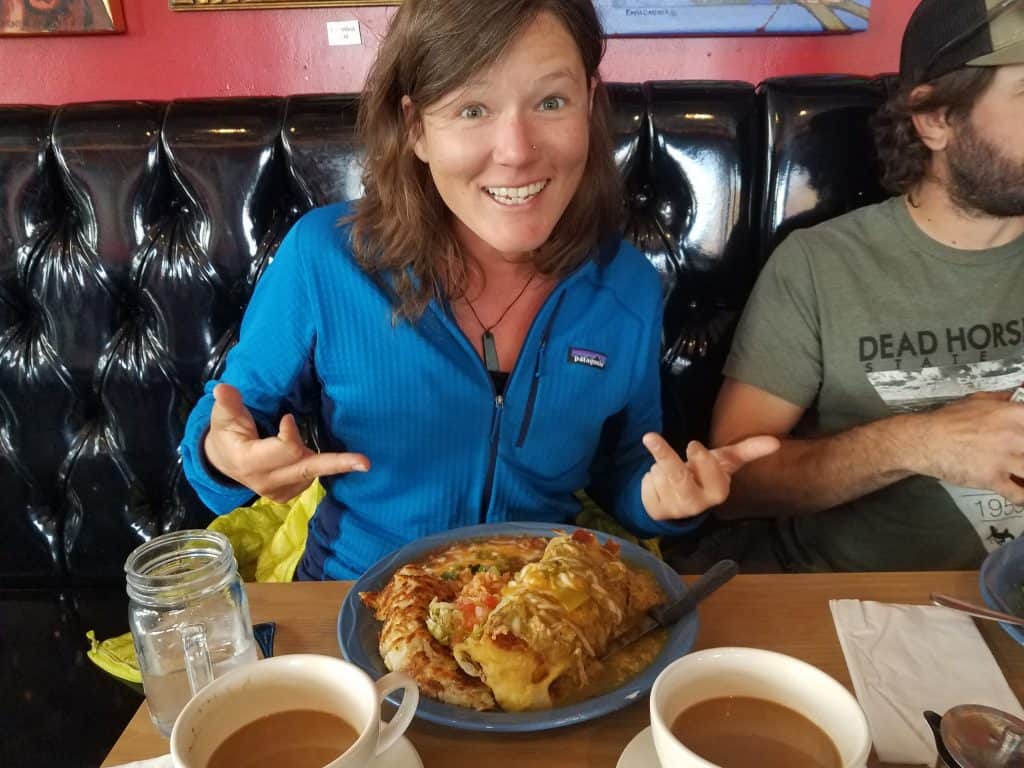
- Loved this place. There is a grocery store, a brewery, and THE BEST PIZZA and also really really good bloody marys. Outdoor seating at both.
- If you don’t want to pay for an expensive cabin, you can camp at the trailhead easily and wander in and out of town


Mormon Lake @ mile 533
resupply for about 50 miles to Flagstaff- depends on the route you take
- I sent myself shoes here to the post office (I think I ordered them online- if your shoes are brand new at the start, you can probably make it to Flag and buy a new pair there). Mormon lake is a tiny little “town” with a general store that serves tourists. You could get by here getting yourself food to make it to flagstaff. It won’t be anything fancy, mac and cheese sort of thing. Otherwise, if you want certain things to eat, you can also mail yourself something here at the same time you mail your Roosevelt package.
- There is a campground and cabins. I rented a cabin with 3 other hikers for about 130 bucks to get a shower and drink beer and get cozy for a night.
Flagstaff @ mile (ish) 590
resupply for about 80-90 miles to Tusayan/Grand Canyon, depends on the route you take. mostly flat easy hiking from here
- The trail takes two routes here, both recognized as official AZT routes. the urban route is a little shorter and walks you directly through town. VERY convenient. The other route stays outside of town and circles you all the way around it. You do cross a road that you could hitch or uber into town from.
- I took the urban route and got a $45 hotel room for 3 nights (I had strep throat. docs orders).
- REI, local gear shops, Target, Whole Foods, everything you need. Great place to replace gear that might be failing.
- Eat a meal at Mart Annes. Yummy margs. Great breakfast burritos.
- Great coffee shops downtown, too.
Tusayan @ mile 685
resupply for about 100 miles to the finish (considering a meal and snacks you will get at jacob lake)
- trail walks into town. General store, starbucks, fast food. I resupplied at the general store here.
- I stayed at the 7 Mile Lodge. She gave me a hiker discount. Room was about $100.
South Rim Grand Canyon Village @ mile 689
- because I didn’t stay in the backpackers campground here, I opted to skip wandering around grand canyon village. If you can secure a permit to camp in the canyon, you will probably want to stay at the backpackers campsites until your permit allows you to hike down. I didn’t get a permit and hiked rim to rim in a day. I did get a permit to camp within the grand canyon NP boundaries once I got to the north rim.
North Rim Grand Canyon
- (probably won’t be open yet for a Spring nobo hike)
- If it had been open, I would have def stopped at the general store in the campground to keep my pack super light for the climb up out of the canyon.
Jacob Lake @ mile 760
- I stopped in here, the trail is about a mile away, and ate pancakes, drank heaps of coffee, and bought a million cookies. Can supplement and add more snacks. early in the spring they don’t have their full offering of food in the little store, but you will still find chips, nuts, granola bars.
Finish at State Line Campground @ mile 788
- primitive campground, pit toilets, no water, on a dirt road with some traffic
- plan to have a friend pick you up or organize a ride. hitching is possible because there are a few popular trailheads near by (the trailhead for the Wave is about a mile up the road)
- closest towns to grab a room and food post trail are Page AZ and Kanab Utah. I went to Kanab. LOVE the Kanab Bakery. Threw my stinky hiker shorts away and got a cute dress from the thrift store.
Table of Contents